Geospatial Science
Geospatial science is a multibillion-dollar industry, and researchers at Saint Louis University are leading the charge to turn St. Louis into a national hub for geospatial research.
Geospatial science is an interdisciplinary field that examines how location impacts a variety of complex issues, from health inequity to agriculture to national security. SLU researchers are using emerging and adaptive technology to apply geospatial insights to these issues and more.
Interdisciplinary Research
Geospatial science and technology can lead to transformative breakthroughs for humanity. This is because location touches on so many issues. One person’s health, career, education, and social life are all impacted by their location.
Environment
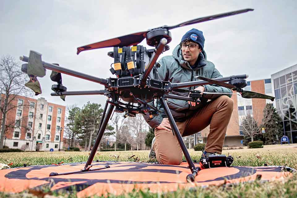
The research of Vasit Sagan, Ph.D., centers on the nexus of food, water and energy. He uses geospatial science to monitor climate change, food security and crop productivity. Using geospatial methods, Sagan has been able to predict the size of crop yields and track the impact of climate change across the world.
With support from the National Science Foundation, Orhun Aydin, Ph.D., is developing geospatial sensors to optimize waste management in St. Louis. These sensors are sophisticated enough to identify specific waste and measure bacterial activity inside the trash bins, which can be used to assess food degradation and prevent future food waste.
Health
SLU researchers are examining how location impacts the health of individual patients and whole communities. Both Kenan Li, Ph.D., and Enbal Shacham, Ph.D., recently conducted studies on air quality and location.
Shacham recently examined the geographic factors of air quality and its impact on pediatric asthma. By pairing location data with air quality assessments, Shacham and her colleagues found that those who lived in public housing experienced poorer air quality days and more often visited health clinics for asthma treatment. These findings can be utilized to develop effective public health interventions.
Economic Development and Social Mobility
The Sinquefield Center for Applied Economic Research (SCAER) manages a number of unique databases related to economic development and social mobility.
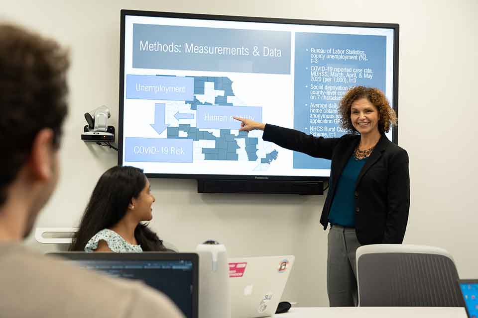
This data has enabled researchers such as Kenan Li, Ph.D., to conduct studies on human mobility and resilience during natural disasters, such as hurricanes, floods and tornadoes. This research gives policymakers a better understanding of how communities move during times of crisis, allowing them to create more effective emergency services and evacuation plans.
Humanities
SLU researchers and scholars are seizing on the growing geospatial opportunities in St. Louis to make new historical and cultural insights using geospatial technology. This allows them to better understand the past — the movement of goods across the globe, the migration of peoples, the progress of urbanization, and more — and the present, such as how religion is experienced in modern cities such as St. Louis.
Workforce Development
Workforce development is central to SLU’s support of the growing geospatial ecosystem in St. Louis. SLU is one of only a handful of universities to receive the GEOINT Certificate Accreditation, which acknowledges excellence in geospatial programs. This allows graduates to pursue internships and employment opportunities in the geospatial intelligence community. In addition to programs for undergraduate and graduate students, the University offers short-term courses for industry professionals through the SLU Workforce Center.
More About Geospatial Courses at SLU
- Leaders Tout Teamwork for Geospatial Success in St. Louis
- SLU, TGI Researcher Part of Team Using Remote Sensing to Study Permafrost
- A Map For Better Public Health
- Internet of Waste: SLU Researcher Tackles the Recycling Problem with GeoAI and Sensor-Powered Waste, Recycling Bins
- Department of Energy Awards Saint Louis University Nearly $1 Million to Create a Climate Resilience Center
- SLU, TGI Researcher Enbal Shacham Named to U.S. Geospatial Intelligence Foundation Board of Directors
- Who Do You Call When Your 15-Foot Dinosaur Needs a Doctor?


